 vesseltracker.com
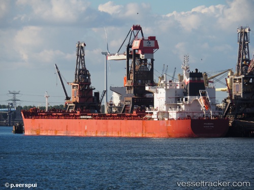
Vessel 'PS FRAMURA' IMO: 9691395, MMSI: 215658000
UTC, -9.79383, 101.321, course: 44, speed: 12
UTC, -9.51632, 101.639, course: 56, speed: 12.1
2026-02-04 17:15:46 UTC, -9.34129, 101.882, course: 60, speed: 12.1
Live AIS position:
UTC. 236 nm W of Flying Fish Cove),
updated 2026-02-04 17:15:46 UTC.
Find the position of the vessel 'PS FRAMURA' on the map. The latter are known coordinates and path.
marine traffic ship tracker show on live map
The current position of vessel 'PS FRAMURA' is -9.34129 lat / 101.882 lng. Updated: 2026-02-04 17:15:46 UTCDetails:
Last coordinates of the vessel:
UTC, -10.0169, 101.05, course: 45, speed: 12UTC, -9.79383, 101.321, course: 44, speed: 12
UTC, -9.51632, 101.639, course: 56, speed: 12.1
2026-02-04 17:15:46 UTC, -9.34129, 101.882, course: 60, speed: 12.1